


Geodata
This page provides original/complete TopoJSON data as well as optimized TopoJSON files for use as custom map within the Power BI custom visuals Maps and Maps Lite.
World political boundaries - optimized
Country level political boundaries in different variants, optimized for the use within the Maps and Maps Lite visuals.
Countries
Political entities as commonly recognized sovereign states. Overseas territories and dependent regions are merged with their parent country into a single feature.
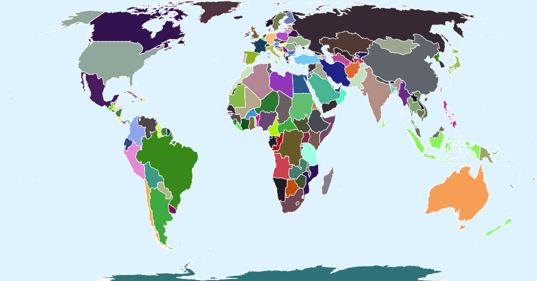
Example:
- France includes French Guiana, Guadeloupe, Martinique, Réunion, and other overseas territories.
- The United States includes Alaska and Hawaii.
Metadata
| Attribute | Description | Sample Entry |
| Name | Country name | South Korea |
| Name long | Country official name | Republic of Korea |
| ISO A2 | ISO 3166-1 A-2 code | KR |
| ISO A3 | ISO 3166-1 A-3 code | KOR |
| ISO N3 | ISO 3166-1 numeric code | 410 |
| Continent | Continent name | Asia |
| Region UN | United Nations region | Asia |
| Region WB | World Bank region | East Asia & Pacific |
| Subregion | Subregion | Eastern Asia |
Download
Geo Units
Geographic units represented as separate features based on their actual location. Overseas territories and detached regions are displayed independently rather than being merged with the parent country.
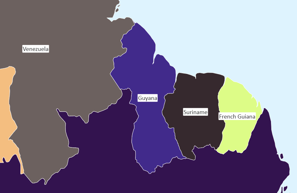
Example:
- France (European mainland) and French Guiana are separate features.
- Greenland is shown separately from Denmark.
- Overseas territories can be analyzed individually.
Download
World physical - optimized
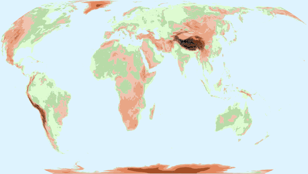
Elevation
Displays global elevation zones derived from terrain data. Ideal for analyzing geographical patterns in relation to altitude and landscape structure.
Download
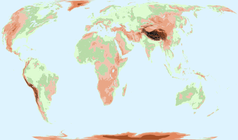
Elevation + Lakes
Displays global elevation zones together with major lakes and inland water bodies, providing additional geographic context and improving map readability.
Download
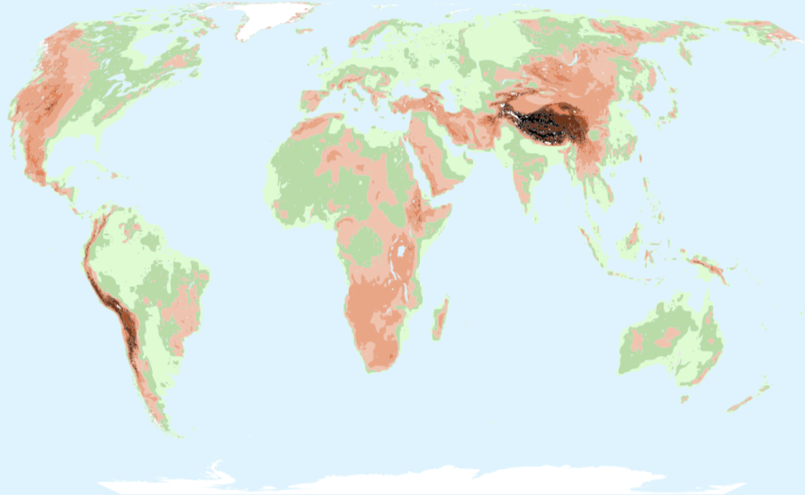
Elevation + Lakes + Glaciated Areas
Displays global elevation zones enriched with major lakes and glaciated areas. Ideal for environmental, climate, tourism, and geographic analyses where permanent ice coverage is relevant.
Download
Countries political boundaries - optimized
World - Natural Earth
Raw data from Natural Earth with all feature properties as a base for the creation of your custom world map.